Trails
Sourced from official notices. Check status before you go.
Results: 214 trails
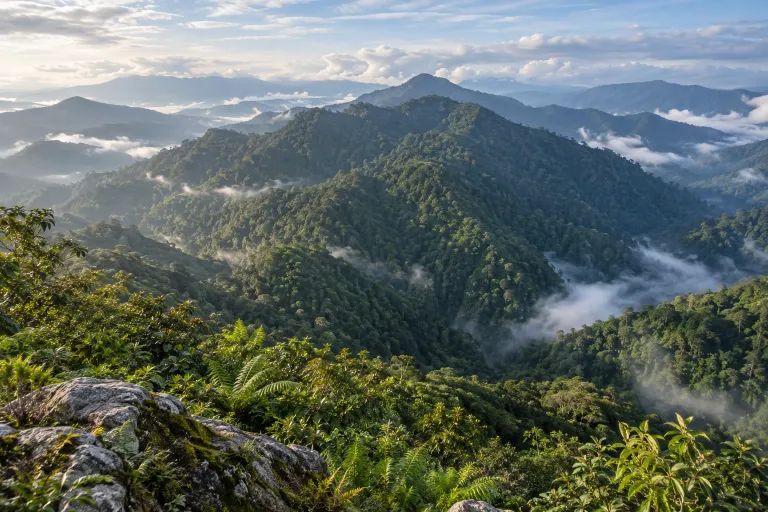
แนวเทือกเขาบรรทัด
Banthat Range
The Banthat mountains lie west of Phatthalung along its boundary with Trang and form part of the Nakhon Si Thammarat Range. Khao Banthat Wildlife Sanctuary contains several distinct treks, including Khao Sam Phu, Khao Chet Yot, Khao Lon Nom Sao and Khao Lak.
Trang / Phatthalung · 3 days · Planning-ready
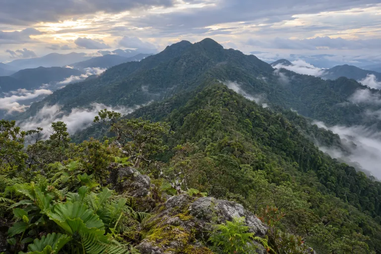
เขานัน
Khao Nan
Khao Nan is a trek in Khao Nan National Park, Nakhon Si Thammarat. Klukfoontour describes a three-day, 20 km itinerary via Chong Lom Waterfall and the summit, returning along the same route.
Khao Nan National Park · 3 days · Planning-ready
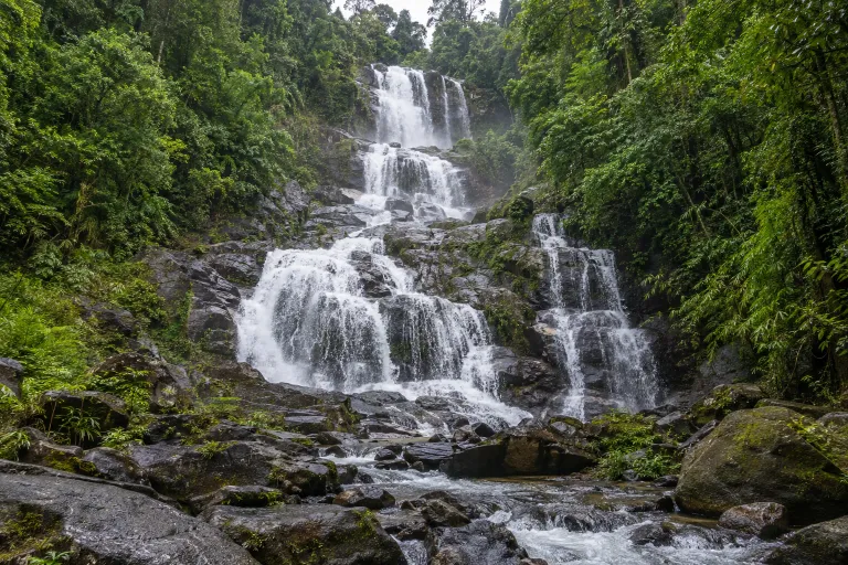
น้ำตกสายรุ้งละอองดาว
Namtok La-ong Dao
This waterfall trek lies in Khlong Nakha Wildlife Sanctuary, Ranong, and involves stream crossings with ranger guidance. Published two-day, one-night itineraries start at Khlong Phraek Khwa check dam.
Khlong Nakha Wildlife Sanctuary · 3 days · Planning-ready
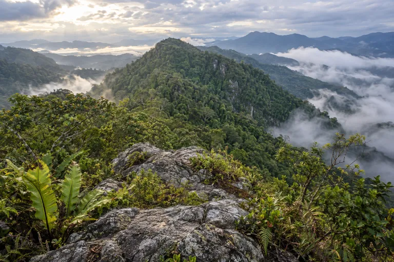
เหมืองโชน
Mueang Chon
Mueang Chon is a trekking destination through an abandoned mine, approached from Kamphuan Forest Protection Unit in Khlong Nakha Wildlife Sanctuary, Ranong. The community report used for the route figures describes a four-day, three-night traverse toward Cheow Lan Lake and reports 85–90 km.
Ranong · 2 days · Planning-ready
คลองยัน
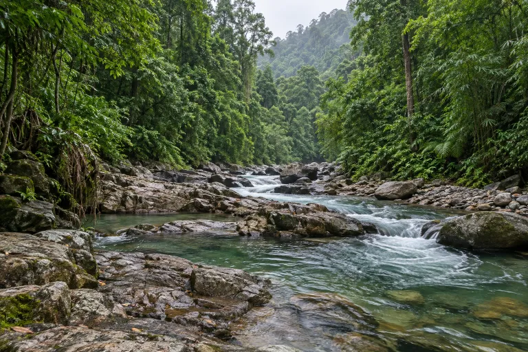
Khlong Yan
GOGO Trip Thailand describes a Khlong Yan Wildlife Sanctuary trek of approximately 50 km over five days and four nights, rated moderate to difficult. The distance and stages below follow that itinerary; the named trailhead comes from a separate seven-day trip report.
Khlong Yan Wildlife Sanctuary · 3 days · Planning-ready
พะโต๊ะ–หลักไก่ต่อ
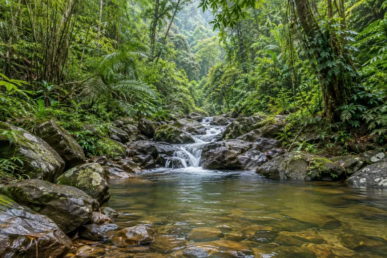
Phato – Lak Kai To
Phato–Lak Kai To combines forest trekking with bamboo-raft building and rafting on a documented five-day, four-night itinerary. TrekkingTHAI rates its itinerary as hard and finishes the rafting section at Ban Lang Tang.
Chumphon · 2 days · Planning-ready
ฮาลา–บาลา เส้นทางศึกษาธรรมชาติแบบลึก
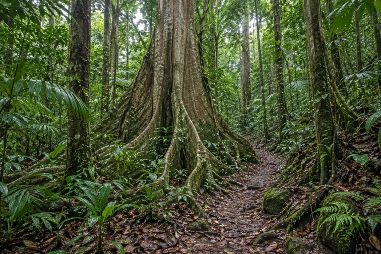
Hala–Bala Deep Nature Trail
3 days 2 nights or more [เขตรักษาพันธุ์ฯ] — เฉพาะรอบที่ได้รับอนุญาต · Distance, elevation, season and access not yet checked against an official source (from the owner's list).
Yala / Narathiwat · 3 days · Planning-ready
เส้นทางนาคะเซนโด
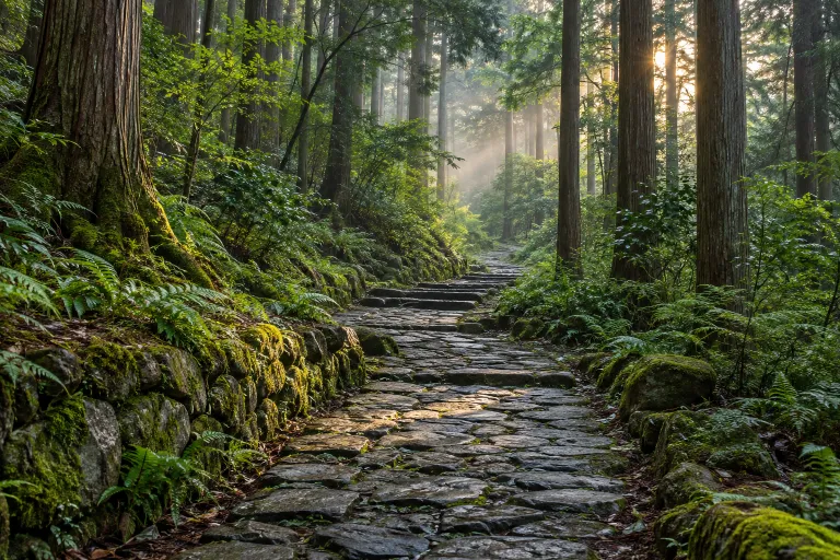
Tsumago-Magome Hike
This section of the Nakasendo connects Magome-juku and Tsumago-juku and can be walked starting in Magome. Tsumago’s official website lists the full hiking course as 9 km, and both towns and the hike can be visited in one day.
Japan · 1 day · Planning-ready
เส้นทางคุมะโนะโคโด มาโกะเสะ
Magose-toge Pass
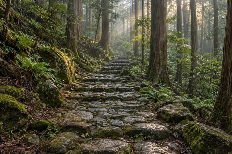
Magose-toge Pass is a stone-paved section of the Kumano Kodo Iseji pilgrimage route in Mie Prefecture. The prefecture's recommended route runs approximately 5.2 km from Michi-no-eki Miyama Rest Station to Owase Station, crossing the pass at 325 m above sea level.
Japan · 1 day · Planning-ready
โจมงสุกิ
Arakawa Trail Entrance - Jomon-sugi Cedar round trip (day trip)
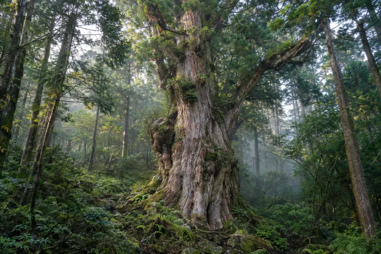
This 22 km day hike on Yakushima runs from Arakawa Trail Entrance to Jomon-sugi Cedar and returns along the same route. Visitors must stay on the viewing deck around the tree.
Yakushima National Park · 1 day · Planning-ready
ภูเขาไฟฟูจิ
Mount Fuji
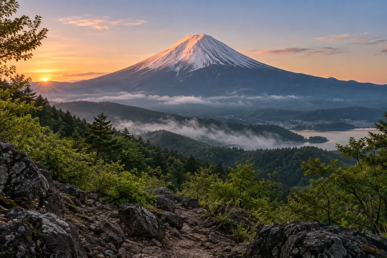
Mount Fuji is 3,776 metres high and has four main climbing routes with different distances and elevation gains; most hikers choose two days with an overnight hut stay. The 2026 climbing season has ended, and the summit trails are closed for winter.
Fuji-Hakone-Izu National Park · 1 day · Planning-ready
ถนนเก่า จุย ลู่
Zhuilu Old Road
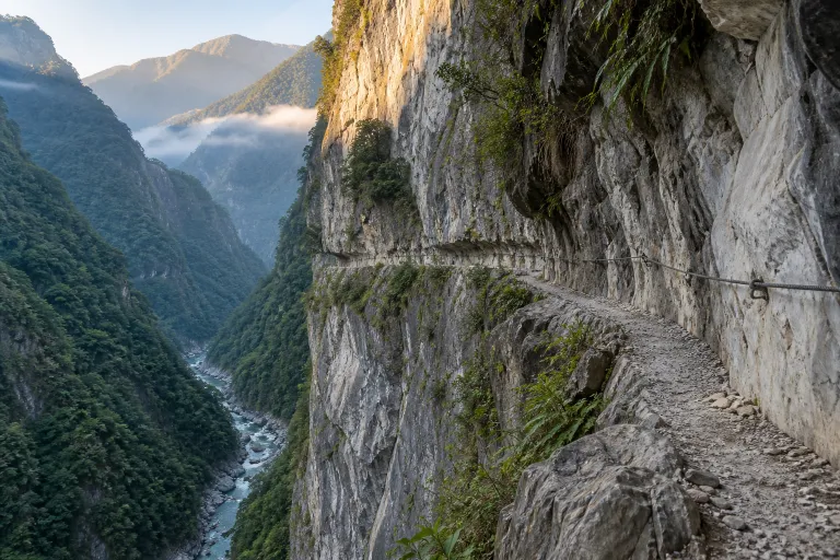
Zhuilu Old Road is a historic trail in Taroko National Park starting at Zhuilu Suspension Bridge; the pre-closure hiking itinerary was a 6.2 km day hike returning along the same route. The park currently lists it as closed following earthquake and typhoon damage in 2024.
Taroko National Park · 1 day · Planning-ready