Trails
Sourced from official notices. Check status before you go.
Results: 214 trails

กิ่วแม่ปาน
Kew Mae Pan Nature Trail
Kew Mae Pan is a 3.2 km circular nature trail in Doi Inthanon National Park, Chiang Mai. It can be completed in one day and requires a guide.
Chiang Mai · 1 day · Planning-ready
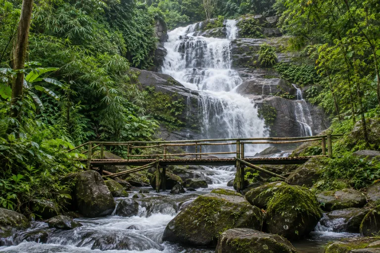
ผาดอกเสี้ยว
Pha Dok Siao Natural Trail
Pha Dok Siao is an approximately 2.6 km nature trail in Doi Inthanon National Park, Chiang Mai, passing through montane forest, waterfalls and rice terraces to Mae Klang Luang village. A local guide is required.
Doi Inthanon National Park · 1 day · Planning-ready
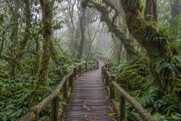
อ่างกา–ดอยอินทนนท์
Ang Ka – Doi Inthanon
Ang Ka is a circular boardwalk nature trail near the summit of Doi Inthanon in Chiang Mai. It is approximately 360 metres long and passes through forest with mosses and ferns.
Doi Inthanon National Park · 1 day · Planning-ready
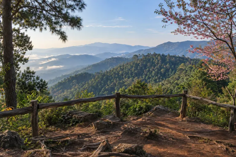
ยอดดอยปุย–ขุนช่างเคี่ยน
Long Walk
Route 3 of the Doi Pui Summit Nature Trail in Chiang Mai’s Doi Suthep–Pui National Park starts at Yod Doi Pui Summit Trailhead and passes Doi Hua Moo to Ban Khun Chang Kian. The round trip is 7.5 km and takes roughly five hours.
Doi Suthep–Pui National Park · 1 day · Planning-ready

Monk’s Trail–วัดผาลาด–ดอยสุเทพ
Monk's Trail
This Chiang Mai hiking route starts near the Channel 7 television station, passes Wat Pha Lat and continues to Wat Phra That Doi Suthep. The Fine Arts Department describes an approximately 10-kilometre round trip.
Doi Suthep–Pui National Park · 1 day · Planning-ready

ดอยขุนตาล ย.1–ย.4
Doi Khun Tan, Yor 1 – Yor 4
The Y.1–Y.4 nature trail lies in Doi Khun Tan National Park in Lamphun and Lampang, with Y.4 at 1,373 metres above sea level. It can be walked in a day, with pedestrian access to the park from Khun Tan railway station.
Doi Khun Tan National Park · 1 day · Planning-ready
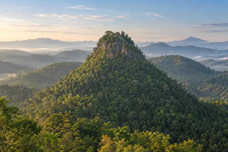
ดอยขะม้อ
Doi Khamo
Doi Khamo is in Makhuea Chae, Mueang Lamphun District, Lamphun Province, with 1,749 steps leading to a sacred summit pool. The Tourism Authority of Thailand describes a two-hour ascent, year-round access, and no required guide.
Mae Thi, Mae Tip and Mae San National Reserved Forest · 1 day · Planning-ready
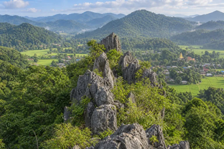
ผาสิงห์ บ้านนาคูหา
Pha Sing, Ban Na Khuha
Pha Sing is a limestone viewpoint at Ban Na Khuha in Phrae, reported in a research paper as 735 metres above mean sea level. The approach is behind Wat Na Khuha; a community account describes approximately 350 metres uphill from the foot of the hill.
Phrae · 1 day · Planning-ready
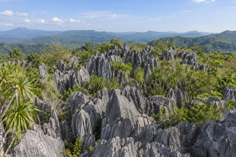
ภูเขาหินปะการัง
Phu Khao Hin Pakarang
Phu Khao Hin Pakarang is a nature trail in Doi Pha Klong National Park, Long District, Phrae, featuring limestone eroded into sharp coral-like formations. ONEP describes approximately 1.2 kilometres of walking to the summit.
Doi Pha Klong National Park · 1 day · Planning-ready
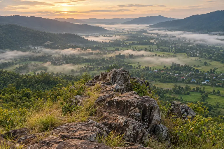
เขาโปกโล้น
Khao Pok Lon
Khao Pok Lon is a hike in Nakhon Chum, Nakhon Thai District, Phitsanulok, with sunrise and valley-mist views. The Tourism Authority of Thailand lists a 1–2 km walk, year-round access, and recommends a local guide.
Phitsanulok · 1 day · Planning-ready
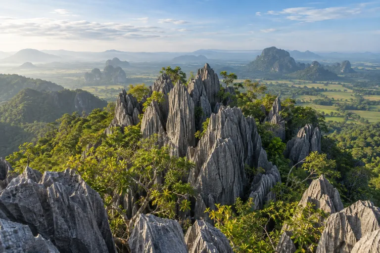
เขาล่องเรือตาหมื่น
Khao Long Rua Ta Mun
Khao Long Ruea Ta Muen is a limestone climbing destination in Ban Mung, Noen Maprang District, Phitsanulok, with day-trip and overnight options. A community trip report gives a 1.5-kilometre ascent route and names Tham Duan–Tham Dao as the meeting point.
Thung Salaeng Luang National Park · 1 day · Planning-ready
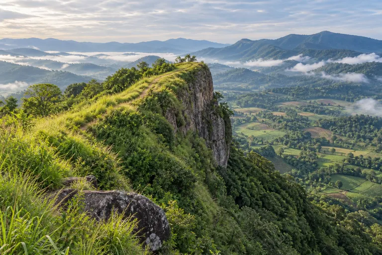
ผาตัด
Pha Tat
Pha Tat is in Khao Kho, Phetchabun, with access through Ban Khek Noi; a local-government document describes its elevation as approximately 1,400 metres above sea level. A hiking operator describes moderate difficulty and a two-day, one-night camping itinerary.
Phetchabun · 1 day · Planning-ready