WORLD TRAILS · RIGHT GEAR
Ready for the world
Gear for the trail you choose.
The right gear for the trail you’ll actually walk. Trails around the world.
Start planning a tripArtistic illustration, not a map or to scale
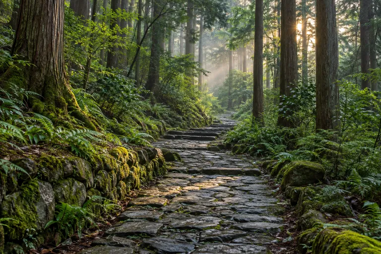
เส้นทางนาคะเซนโด
Tsumago-Magome Hike
This section of the Nakasendo connects Magome-juku and Tsumago-juku and can be walked starting in Magome. Tsumago’s official website lists the full hiking course as 9 km, and both towns and the hike can be visited in one day.
Japan · 1 day · Planning-ready
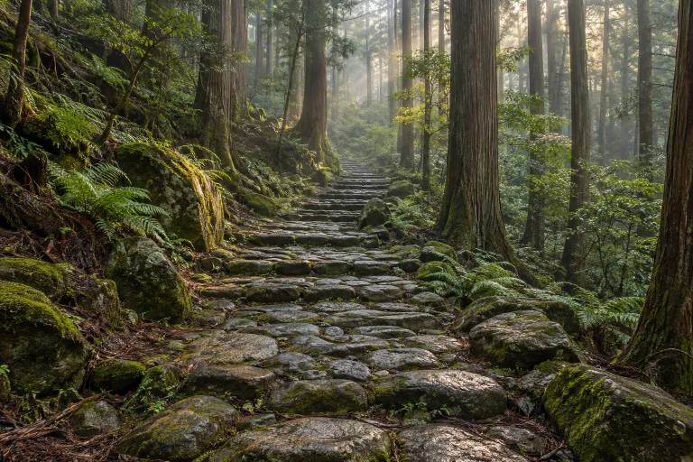
เส้นทางคุมะโนะโคโด มาโกะเสะ
Magose-toge Pass
Magose-toge Pass is a stone-paved section of the Kumano Kodo Iseji pilgrimage route in Mie Prefecture. The prefecture's recommended route runs approximately 5.2 km from Michi-no-eki Miyama Rest Station to Owase Station, crossing the pass at 325 m above sea level.
Japan · 1 day · Planning-ready
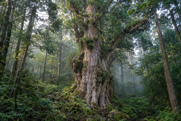
โจมงสุกิ
Arakawa Trail Entrance - Jomon-sugi Cedar round trip (day trip)
This 22 km day hike on Yakushima runs from Arakawa Trail Entrance to Jomon-sugi Cedar and returns along the same route. Visitors must stay on the viewing deck around the tree.
Yakushima National Park · 1 day · Planning-ready
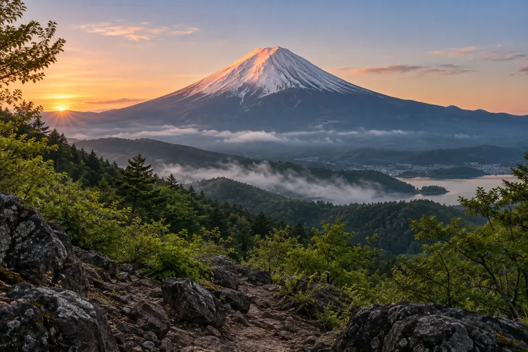
ภูเขาไฟฟูจิ
Mount Fuji
Mount Fuji is 3,776 metres high and has four main climbing routes with different distances and elevation gains; most hikers choose two days with an overnight hut stay. The 2026 climbing season has ended, and the summit trails are closed for winter.
Fuji-Hakone-Izu National Park · 1 day · Planning-ready
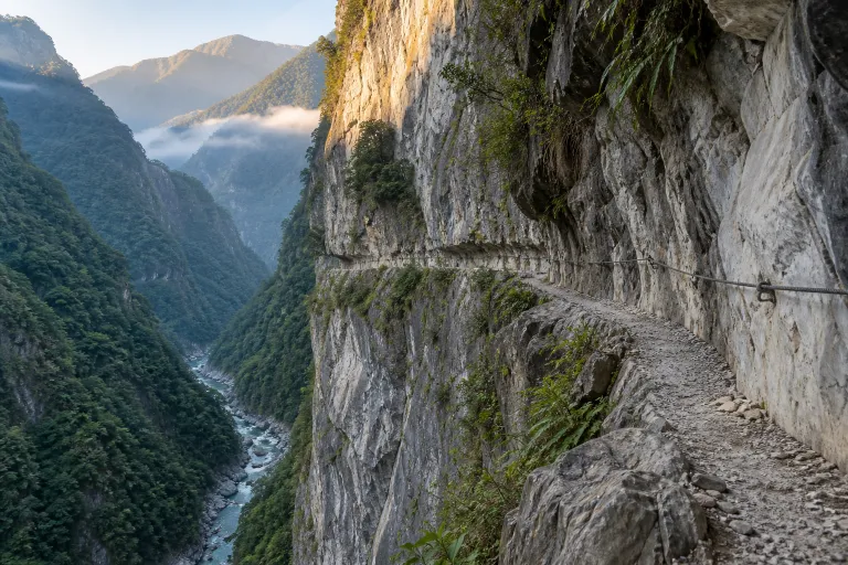
ถนนเก่า จุย ลู่
Zhuilu Old Road
Zhuilu Old Road is a historic trail in Taroko National Park starting at Zhuilu Suspension Bridge; the pre-closure hiking itinerary was a 6.2 km day hike returning along the same route. The park currently lists it as closed following earthquake and typhoon damage in 2024.
Taroko National Park · 1 day · Planning-ready
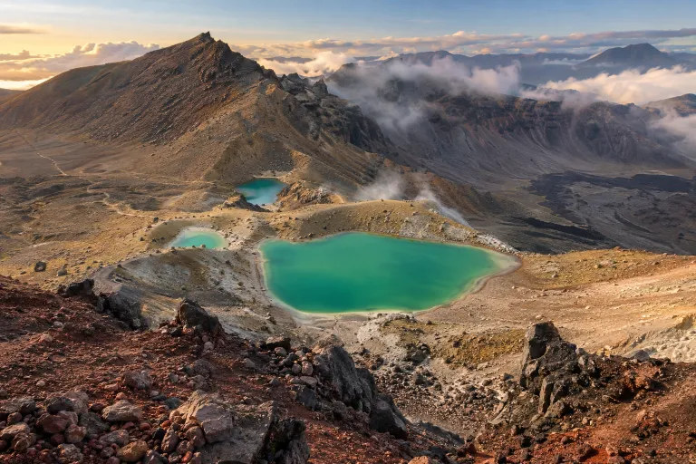
เส้นทางเดินป่าข้ามเทือกเขาแอลป์ตองการิโร
Tongariro Alpine Crossing
Tongariro Alpine Crossing is a 20.2 km day hike in Tongariro National Park, with a starting point at Mangatepopo Road end. It crosses volcanic terrain and passes Emerald Lakes, reaching its highest point at Red Crater at 1,886 metres.
Tongariro National Park · 1 day · Planning-ready