Trails
Sourced from official notices. Check status before you go.
Results: 139 trails

ภูตาจอ
Phu Ta Jo
Phu Ta Jo is in Le Subdistrict, Kapong District, Phang Nga, within Ton Pariwat Wildlife Sanctuary; TAT reports an elevation of 1,350 metres. Access combines a four-wheel-drive approach with an approximately 200-metre walk from the campsite to the summit.
Ton Pariwat Wildlife Sanctuary · 2 days · Planning-ready
เขาหลัก
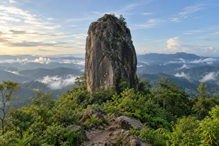
Khao Lak (Phatthalung)
Khao Lak is a mountain in the Banthat range in Phatthalung, reported by Kom Chad Luek as 1,355 metres above mean sea level. A Readme.me community trip report describes an approximately 30 km round trip over three days and two nights.
Khao Banthat Wildlife Sanctuary · 2 days · Planning-ready

คลองแสง
Khlong Saeng
Khlong Saeng is a wildlife sanctuary in Surat Thani. An operator describes a forest walk near Cheow Lan Dam as Khlong Saeng Trek, but its correspondence to the owner's two-day trek remains unverified.
Khlong Saeng Wildlife Sanctuary · 2 days · Planning-ready

ม่อนทูเล
Mon Thule
Mon Thule is a 1,350-metre peak in Tha Song Yang district, Tak, approached from Ban Mae Chawang with approximately 7.5 kilometres of uphill walking. TAT describes both two-day, one-night and three-day, two-night trips and states that a guide is required.
Tak · 2 days · Planning-ready

ม่อนคลุย–จอวาเล–ม่อนทูเล
Mon Khlui – Cho Wa Le – Mon Thule
This trek in Tha Song Yang District, Tak, has a three-day, two-night itinerary starting on the Mon Khlui side and descending via Thule, with tent camps at Cho Wa Le and Thule. This itinerary is documented by commercial tour operators.
Tak · 3 days · Planning-ready
เปรโต๊ะลอซู–ดอยมะม่วงสามหมื่น
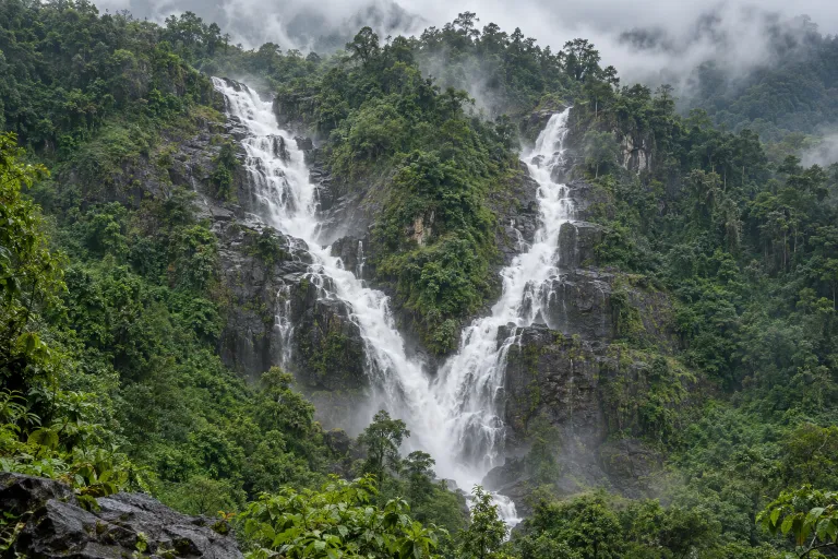
Pre To Lo Su – Doi Mamuang Sam Muen
This trek starts at Ban Kui Loe To in Umphang, Tak, and visits Pre To Lo Su waterfall and Doi Mamuang Sam Muen. Published itineraries take three days and two nights with tent camping; the Tourism Authority of Thailand identifies August–September as the best waterfall-viewing period.
Umphang Wildlife Sanctuary · 3 days · Planning-ready
ดอยตะโกหล่อโจ–ม่อนสี่สหาย
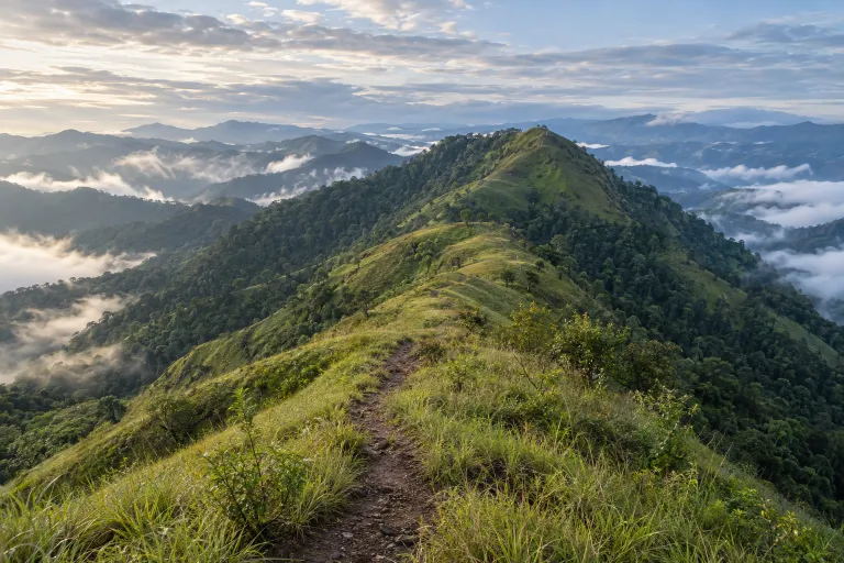
Doi Tako Lo Cho – Mon Si Sahai
3 days 2 nights or more [ชุมชน] — 3 วัน 2 คืน · Distance, elevation, season and access not yet checked against an official source (from the owner's list).
Tak · 3 days · Planning-ready
ม่อนคลุย–ดอยสอยมาลัย
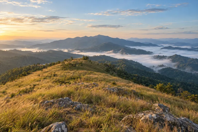
Mon Khlui – Doi Soi Malai
3 days 2 nights or more [ชุมชน] — ตรวจสอบรอบ · Distance, elevation, season and access not yet checked against an official source (from the owner's list).
Tak · 3 days · Planning-ready

ดอยหลวงตาก
Doi Luang Tak
Doi Luang Tak is a hiking route in Ban Tak district, Tak province, with a reported 22 km return distance. Published trekking itineraries describe two days and one night with tent camping.
วนอุทยานน้ำตกห้วยแม่ไข · 3 days · Planning-ready
ดอยหลวง–ดอยหนอก
Doi Luang – Doi Nok
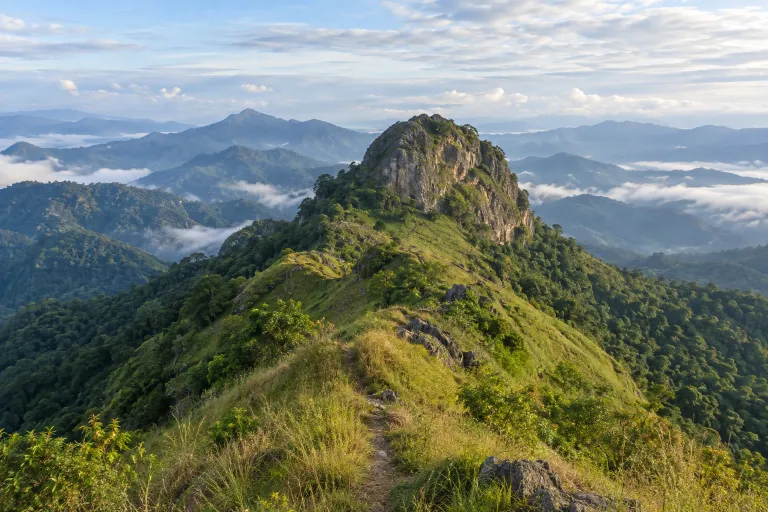
Doi Luang–Doi Nok is a trek in Doi Luang National Park, reaching Doi Luang at 1,694 metres and requiring a staff guide. Komchadluek describes a three-day, two-night itinerary from Highway 120, camping on Doi Luang and at Pha Klet Nak waterfall before descending toward Ban Huai Mo.
Doi Luang National Park · 3 days · Planning-ready
ลังกาน้อย–ลังกาหลวง
Langka Noi – Langka Luang
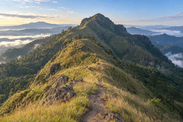
Langka Noi–Langka Luang is a trek in Khun Chae National Park, with Langka Luang reaching 2,031 metres. TrekkingTHAI describes a three-day, two-night itinerary starting at the radar base, visiting both peaks and finishing at Ban Mae Ton Luang.
Chiang Rai · 3 days · Planning-ready
เด่นช้างนอน
Den Chang Non hiking trail
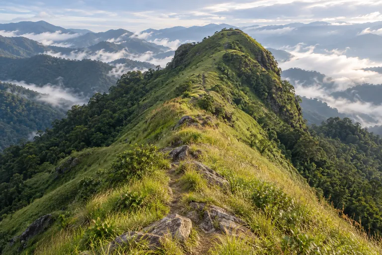
Den Chang Non is a hiking trail in Doi Phu Kha National Park, Nan. Published accounts describe an 18-kilometre, three-day, two-night trek starting at Nam Yang Weir near the entrance to Sila Phet Waterfall.
Doi Phu Kha National Park · 3 days · Planning-ready