Trails
Sourced from official notices. Check status before you go.
Results: 139 trails
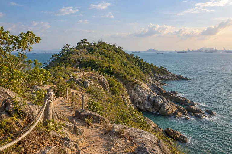
เขาแหลมฉบัง
Khao Laem Chabang
Khao Laem Chabang is in Thung Sukhla, Si Racha District, Chonburi Province. A community trip report describes walking along the rocky shore through a short cave passage to another beach.
Chon Buri · 1 day · Planning-ready
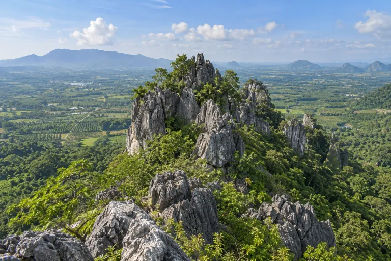
เขาชะอางค์โอน
Khao Cha-ang On
Khao Cha-ang On is in Bo Thong District, Chon Buri. The area includes Wat Tham Khao Cha-ang On and a cave belonging to the Khao Cha-ang cave group.
Chon Buri · 1 day · Planning-ready
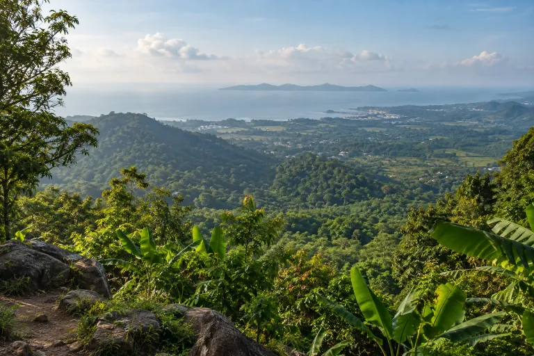
เขายายดา
Khao Yai Da
Khao Yai Da in Rayong has several trails; Chiang Mai Trail Running describes a difficult 10 km loop starting and finishing at Rayong Boy Scouts Camp. The viewpoint overlooks Koh Samet.
วนอุทยานน้ำตกห้วยแม่ไข · 1 day · Planning-ready
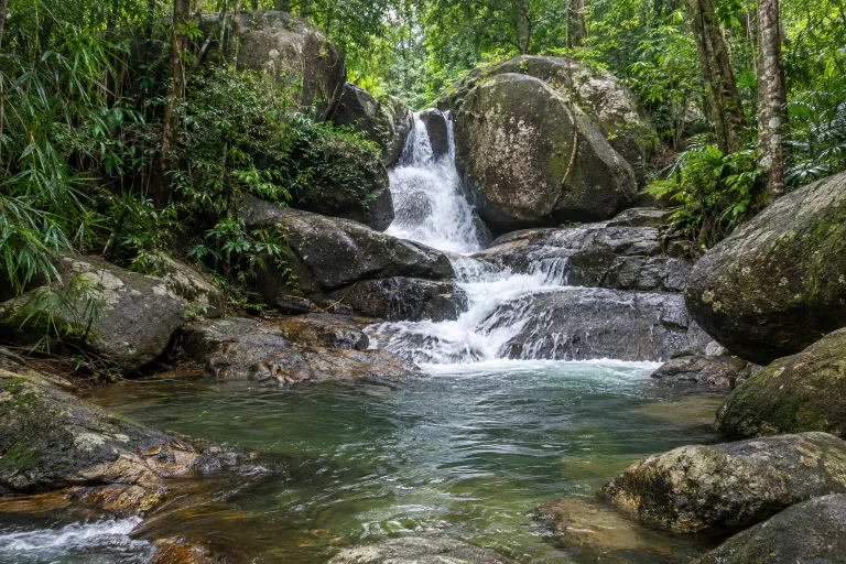
น้ำตกเขาชะเมา
Khao Chamao Waterfall
Khao Chamao Waterfall is in Khao Chamao–Khao Wong National Park, Rayong, with the trail starting at the visitor centre area. A hiking operator describes a one-day return hike with an intermediate activity level.
Khao Chamao–Khao Wong National Park · 1 day · Planning-ready
เขาคิชฌกูฏ
Khao Khitchakut
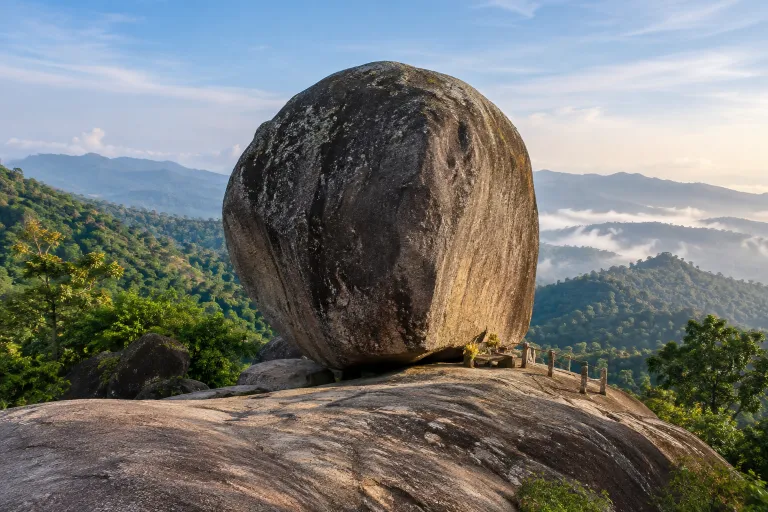
Khao Khitchakut is a pilgrimage hike to a Buddha footprint in Khao Khitchakut National Park, Chanthaburi, with walking access via ranger unit Khok.1 (Phra Bat Phluang) and Ban Klaeng. The 2026 pilgrimage festival was scheduled for 19 January–19 March.
Khao Khitchakut National Park · 1 day · Planning-ready
น้ำตกเขาสอยดาว
Khao Soi Dao Waterfall
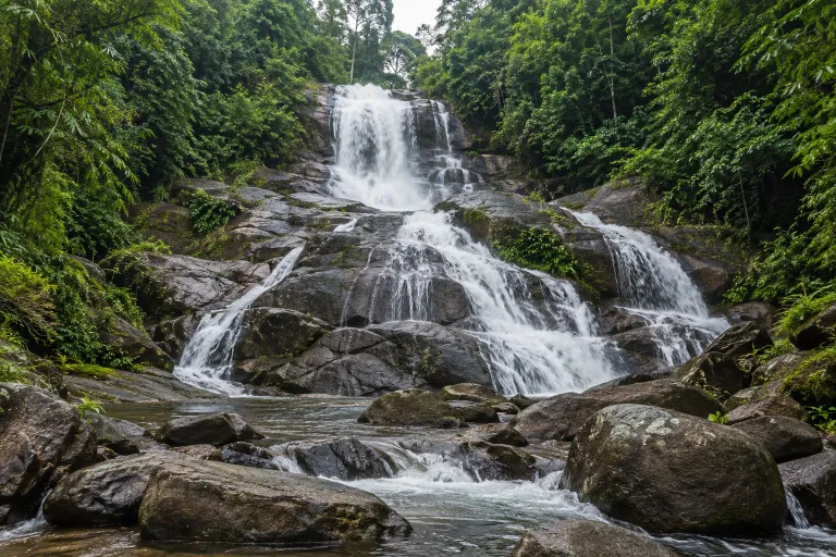
Khao Soi Dao Waterfall has 16 tiers within Khao Soi Dao Wildlife Sanctuary, Chanthaburi. The ascent to tier 9 is 2.5 km; tiers 10–16 require a ranger.
Khao Soi Dao Wildlife Sanctuary · 1 day · Planning-ready
เขาแหลมสลักเพชร
Khao Laem Salak Phet
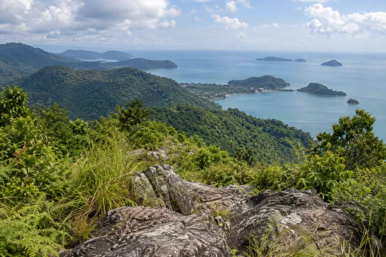
Khao Laem Salak Phet is a hike on Koh Chang starting near Khiri Phet waterfall, with a local guide site reporting 3.8 km one way to the viewpoint near the summit. Published accounts describe a day hike and a loop returning via the waterfall.
Trat · 1 day · Planning-ready
เขาสลักเพชร
Khao Salak Phet
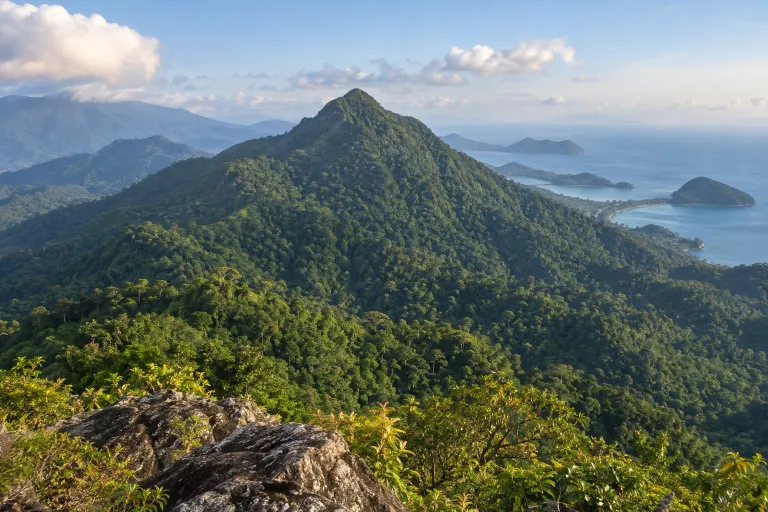
Khao Salak Phet is Koh Chang’s highest peak, approximately 744 metres high. Local operators describe a one-day summit hike, and a hiking guide website states that a local guide is mandatory.
Trat · 1 day · Planning-ready
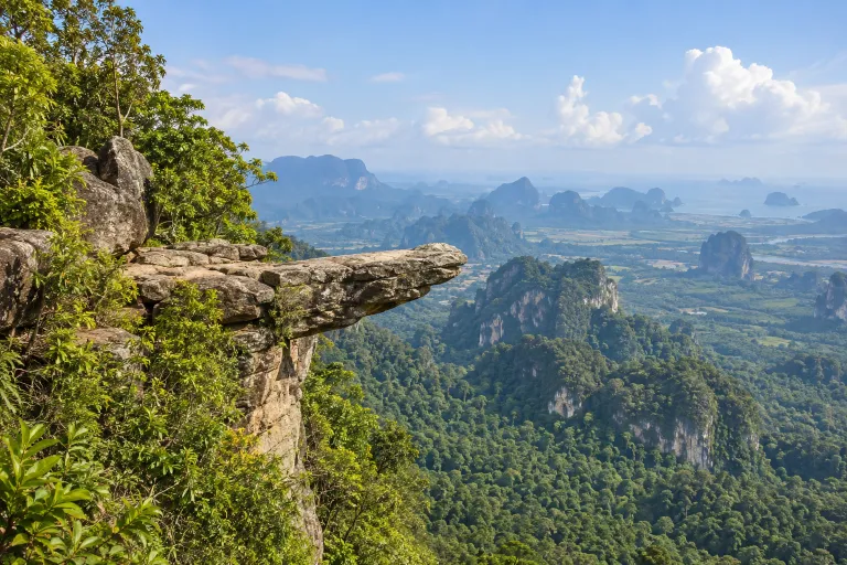
เขาหงอนนาค
Khao Ngon Nak
Khao Ngon Nak is a hiking trail in Krabi’s Nopparatthara–Moo Koh Phi Phi National Park, starting at the Thap Khaek ranger unit. The climb to the viewpoint is approximately 3.7 km one way and offers views of the Krabi coast.
Nopparatthara – Moo Koh Phi Phi National Park · 1 day · Planning-ready
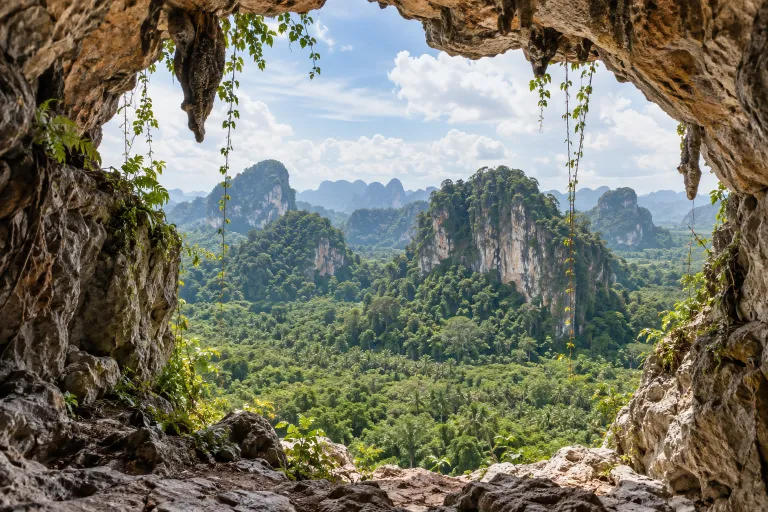
เขาไสไทย
Khao Sai Thai
Khao Sai Thai is a mountain hike in Sai Thai, Mueang Krabi. A community account describes access via the road toward Attitude Cafe and an approximately 1 km ascent taking around 45 minutes.
Krabi · 1 day · Planning-ready
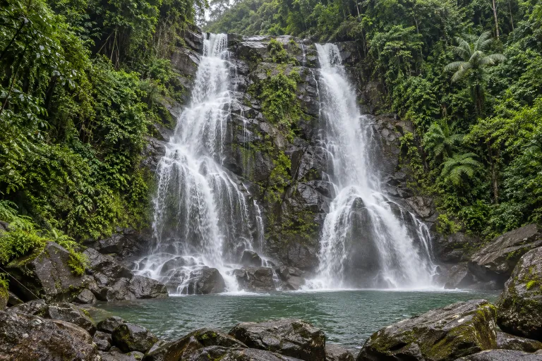
น้ำตกกรุงชิง
Krung Ching Waterfall
Krung Ching Waterfall is in Khao Luang National Park, Nakhon Si Thammarat. The forest trail starts near the park unit, with the local government listing 3.7 km to the waterfall.
Khao Luang National Park · 1 day · Planning-ready
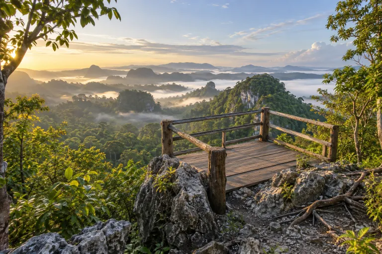
วังผาเมฆ
Wang Pha Mek
Wang Pha Mek is a hike to a sunrise and sea-of-mist viewpoint in Ban Thung Luang, Wang Maprang, Wang Wiset District, Trang. A Tourism Authority of Thailand guide describes an approximately 600-metre ascent, and a guide is required.
Sai Khuan and Ai Kling National Reserved Forests · 1 day · Planning-ready